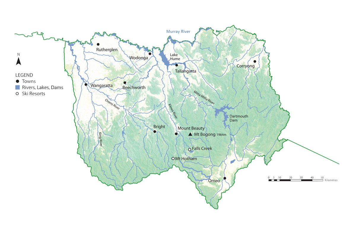
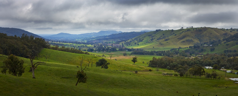
Victoria's north east is rich in natural assets; snow topped mountains, river valleys, open plains and natural forests.
The region is bounded by the Murray River in the north, the Victorian Alps in the south, the NSW border in the east and the Warby Ranges in the west. It takes in the local government municipalities of Wodonga, Indigo, Wangaratta, Alpine and Towong, plus parts of the Moira and East Gippsland shires.
Approximately 102,000 people live in the north east, contributing some $3.24 billion a year to Victoria's economic wealth. The main industries in the region are agriculture (dairy, beef, lamb, wool, cropping and horticulture), forest products, tourism, value-added processing industries and manufacturing.