Overview
 The North East Catchment Management Authority is committed to assisting farming businesses make important management decisions based on predicted climate scenarios for the region. Private land holders manage around 50% of the catchments in the North East CMA and are critical for the production of food and fibre, community wellbeing and environmental assets.
It is expected that region-specific impact information will underpin the development of tools that support farming businesses make important management decisions based on predicted climate scenarios.
Project Overview and Outcome Reports
 The North East CMA initiated the Embedding Climate Adaptation in Agriculture (ECAiA) program in 2019 to increase the capacity of landholders, communities and local government to adapt to changes in regional climatic conditions. This project has developed spatial tools to help guide discussions about climate adaptation pathways
Partners for this project are North East CMA and six agricultural industry sectors (cropping, grazing, forestry, horticulture, viticulture, dairy) and six local governments. The knowledge and tools developed through the ECAiA are assisting councils to support the local agricultural economy. The initiative was funded through the Australian Government’s former National Landcare Program (2019-2023).
The anticipated climate changes and their modeled impacts on agricultural productivity, in addition to water system balance impacts across the region, are presented in the spatial tools. Read about the project and its outcomes using the below tab.
Read More
LATEST PROJECT NEWS
Case studies
Climate webinars
Agriculture Victoria has a series of interactive, online seminars on topics relating to climate and emissions in agriculture. Find them here
Embedding Climate Adaptation in Agriculture in North East Victoria
Lachlan Campbell is the Regional Agriculture Landcare Facilitator for the North East and project leader for the 'Embedding Climate Adaptation in Agriculture' project funded through the former National Landcare Program. In this webinar for Agriculture Victoria in September 2020, he shares how the project has used climate change projections and applied these to assess potential impacts on agriculture production in North East Victoria. He also shares the spatial tools and engagement approach that have been developed which help guide discussions about climate adaptation pathways.
About the Tools
Spatial tools have been developed to assist agricultural sector groups, local councils, catchment managers and other stakeholders better understand anticipated changes to the climate over the next 30 years, and the likely implications. Before accessing the tools read about them using the below tab.
Read More
Regional Climate
The climate data presented in the spatial tool includes the latest climate projection information available from CSIRO for North East Victoria. The tool comprises a series of map and graph based views of changes in climate variables. Read about and access the climate explorer tool using the below tab.
Regional Climate Explorer
Water Balance
The anticipated impact of climate change on surface water and its availability for agricultural users and the community is presented in the water balance explorer tool which you can read about and access using the below tab.
Water Balance Explorer
Agricultural Sectors
Spatial tools developed allow you to explore the anticipated impacts of climate change on the following agricultural sectors. Read about and access the tool related to your agricultural sector by selecting one of the tabs provided below.
Cropping Explorer
Horticulture Explorer
Viticulture Explorer
Dairy Explorer
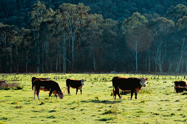
Beef / Sheep Explorer
Forestry Explorer
Local Government
Spatial tools developed assist will councils support the local agricultural economy and a review of planning processes to build in resilience and adaptation to manage the impacts of climate change. Read about and access the local government explorer tool using the tab provided below.
Local Government Explorer
Further Reading & Resources
Find information concerning other relevant projects and resources using the tab provided below.
Read More